

ESPAÑOL INGLÉS
TRADUCCIÓN DE PALABRA O FRASE Nº 1961
‘CORREDOR’ / RUNNER
1 (atleta) runner.
2 (ciclista) cyclist.
3 (pasillo) corridor.
*CORREDOR DE COCHES,racing driver.
*CORREDOR DE FONDO,distance runner.

Gobierno
El gobierno de Gales es el órgano superior colegiado que dirige la política y la Administración de Gales, y es, asimismo, el titular de la función ejecutiva y de la potestad reglamentaria descentralizada del Reino Unido. Inicialmente fue creado en 1999 como Comité Ejecutivo de la Asamblea Nacional de Gales. Desde 2006 constituye un órgano ejecutivo independiente responsable delante el parlamento Galés.
Despertar nacionalista
Durante este período los nacionalistas del partido Plaid Cymru, dirigidos por Gwynfor Evans, consiguieron por primera vez representación en el parlamento del Reino Unido en 1966, y convirtieron la “devolución” de las instituciones parlamentarias galesas en su principal objetivo político. En el referéndum de 1979 ganó el voto negativo, pero en 1997 se realizó un nuevo referéndum en el que ganó el sí por un estrecho margen, lo que permitió la creación de un parlamento galés en Cardiff.
Organización territorial
Las divisiones sociohistóricas de este país constituyente del Reino Unido son Gales del Norte, Gales del Centro, Gales del Sur y Gales Sur Occidental.
Los trece condados históricos de Gales, existentes entre 1889 y 1974, fueron Monmouthshire, Glamorgan, Carmarthenshire, Pembrokeshire, Cardiganshire, Brecknockshire, Radnorshire, Montgomeryshire, Denbighshire, Flintshire, Merionethshire, Caernarvonshire y Anglesey.
En 1974 se fusionaron algunos de ellos, reduciéndose su número a ocho: Gwent, South Glamorgan, Mid Glamorgan, West Glamorgan, Dyfed, Powys, Gwynedd y Clwyd. Años después perdieron toda función administrativa, pero se conservaron como condados preservados.
En 1996, el país fue dividido en veintidós autoridades unitarias: nueve condados, tres ciudades (Newport, Cardiff y Swansea) y diez distritos condales*: (1) Merthyr Tydfil*, (2) Caerphilly*, (3) Blaenau Gwent*, (4) Torfaen*, (5) Monmouthshire, (6) Newport, (7) Cardiff, (8) Vale of Glamorgan*, (9) Bridgend*, (10) Rhondda Cynon Taf*, (11) Neath Port Talbot*, (12) Swansea, (13) Carmarthenshire, (14) Ceredigion, (15) Powys, (16) Wrexham*, (17) Flintshire, (18) Denbighshire, (19) Conwy*, (20) Gwynedd, (21) Anglesey y (22) Pembrokeshire.
Otras capitales de los condados históricos y actuales son Aberaeron, Brecon, Caernarfon, Cardiff, Carmarthen, Denbigh, Dolgellau, Haverfordwest, Llandrindod Wells, Llangefni, Mold, Monmouth, Montgomery, Presteigne y Ruthin.
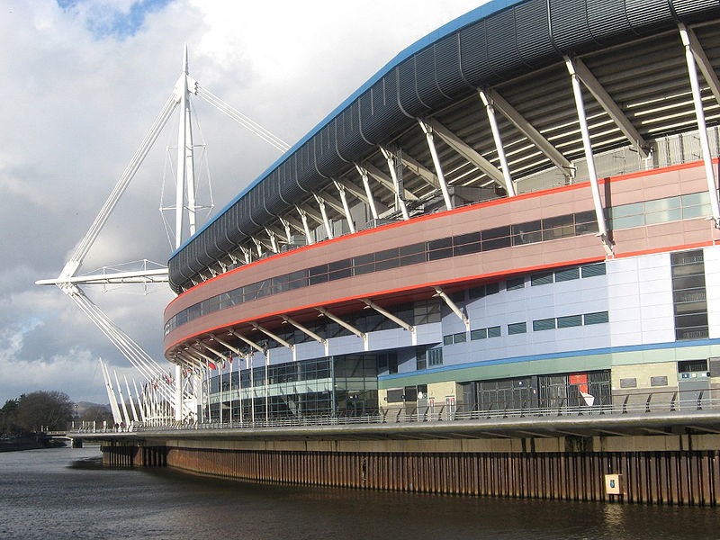
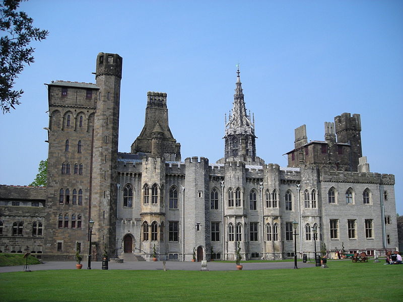
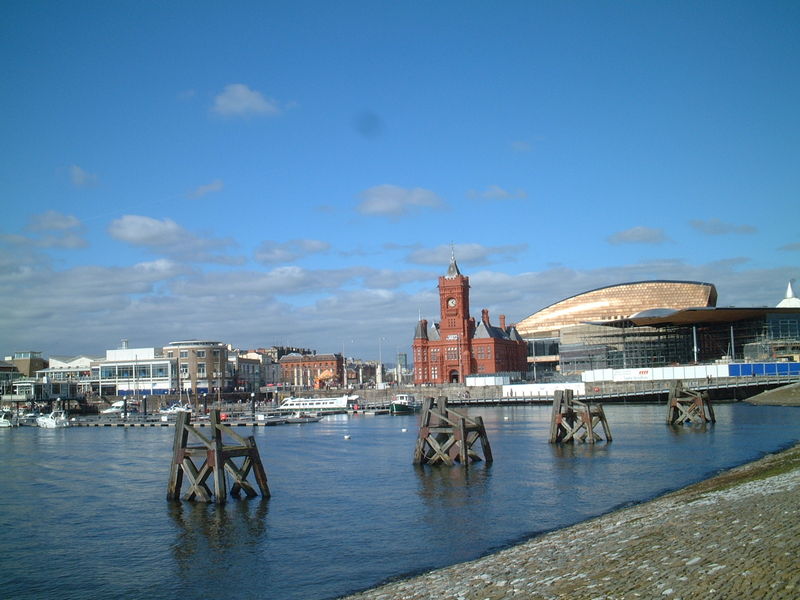
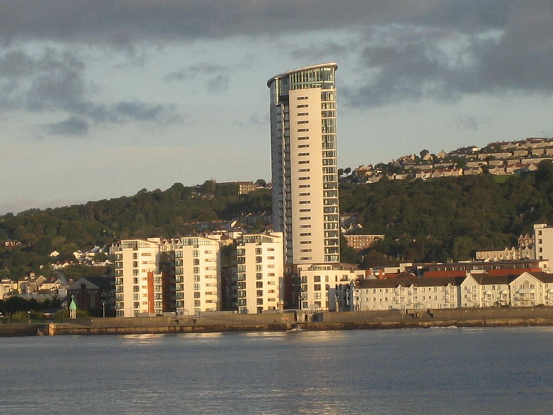
Los mayores núcleos demográficos de Gales se sitúan en el sur, con los grandes centros urbanos de Cardiff, Swansea y Newport, además del de Gales del Norte alrededor de Wrexham.
Geografía
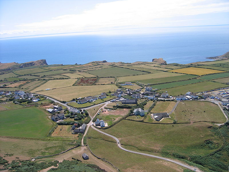
Gales es un país muy montañoso, en particular en el norte y en el centro. Sus formaciones se desarrollaron durante las glaciaciones, en particular la wisconsiense. Los picos más altos se encuentran en Snowdonia, incluyendo el Snowdon, que con 1085 msnm es el más alto del País.
El país cuenta con numerosos cursos de agua entre los cuales los más importantes ríos son el Severn (354 km), el Wye (215 km), el Dee (112 km), el Towy (109 km), el Usk (90 km), el Teifi (84 km) y el Taff (64 km). Entre sus lagos destacan el Tegid, el Trawsfynydd y el Vyrnwy, todos con una superficie superior a los 4 km².
Gales cuenta con los parques nacionales de Snowdonia, Brecon Beacons y Costa de Pembrokeshire, al igual que con cuatro Áreas de Destacada Belleza Natural: Anglesey, la Cordillera Clwydian, la Península de Gower y el Valle Wye.
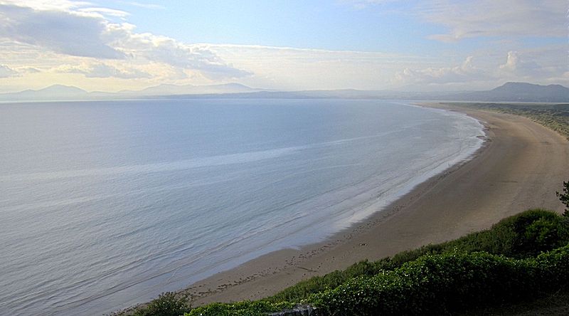
Gran parte de la costa oriental y meridional de Gales se encuentra protegida. La Península de Gower, Pembrokeshire, Carmarthenshire, y Ceredigion son particularmente silvestres e impresionantes. Gower, Carmarthenshire, Pembrokeshire y la Bahía de Cardigan tienen aguas limpias y azules, con atractivas playas. Sin embargo, también están expuestas a fuertísimos vientos del oeste traídos por el Atlántico, causantes de numerosos naufragios.
La frontera actual entre Gales e Inglaterra se definió en el siglo XVI, con base las divisiones feudales. El límite sigue asimismo el trazado de la Muralla de Offa.
Demografía
Según el censo del 2011 Gales tiene una población de 3 064 511 habitantes (1 483 782 hombres y 1 580 729 mujeres). Según su lugar de nacimiento el 75,39% es oriundo de Gales, el 20,32% de Inglaterra, el 0,84% de Escocia, el 0,71% de Irlanda. Entre las minorías destacan la china (0,40% de la población) y la india (0,28%).
Conocimiento de la lengua galesa
El 20% habla, lee y escribe el galés. El 4,93% solo lo habla. Por su parte, el 71,57% no tiene ningún conocimiento del idioma.
Religión
La religión predominante es el cristianismo (71,9%) con una mayoría de las iglesias reformadas, con importantes grupos musulmanes (0,75%), budistas (0,19%) e hinduistas (0,19%).
*********************************************************
Government
The Welsh government is the referee upper body that directs the policy and administration of Wales, and is also the holder of executive function and decentralized regulatory power of the United Kingdom. It was initially established in 1999 as the Executive Committee of the National Assembly for Wales . Since 2006 is an independent executive body responsible before the Welsh parliament.
Territorial organization
Sociohistorical divisions of this constituent country of the United Kingdom are North Wales , Wales Center , South Wales and South West Wales .
The thirteen historic counties of Wales , between 1889 and 1974 ,fueron Monmouthshire , Glamorgan , Carmarthenshire , Pembrokeshire , Cardiganshire , Brecknockshire , Radnorshire , Montgomeryshire , Denbighshire , Flintshire , Merionethshire , Caernarvonshire y Anglesey .
In 1974 some of them merged, reducing the number eight: Gwent , South Glamorgan , Mid Glamorgan , West Glamorgan , Dyfed , Powys , Gwynedd and Clwyd . Years later lost all administrative function, but were retained as preserved counties .
In 1996 , the country was divided into twenty-two unitary authorities : nine counties, three cities ( Newport , Cardiff and Swansea ) and ten county districts *: (1) Merthyr Tydfil *, (2) Caerphilly *, (3) Blaenau Gwent * (4) Torfaen *, (5) Monmouthshire (6) Newport (7) Cardiff (8) Vale of Glamorgan *, (9) Bridgend *, (10) Rhondda Cynon Taf *, (11) Neath Port Talbot * , (12) Swansea (13) Carmarthenshire (14) Ceredigion (15) Powys (16) Wrexham *, (17) Flintshire (18) Denbighshire (19) Conwy *, (20) Gwynedd (21 ) Anglesey and (22) Pembrokeshire .
Other capitals of current and historical counties are Aberaeron , Brecon , Caernarfon , Cardiff , Carmarthen , Denbigh , Dolgellau , Haverfordwest , Llandrindod Wells , Llangefni , Mold , Monmouth , Montgomery , Presteigne and Ruthin .
The largest demographic Wales nuclei are located in the south, with the major urban centers of Cardiff , Swansea and Newport , also from North Wales near Wrexham .
Geography
Wales is a very mountainous country, particularly in the north and in the center. Their formations were developed during the glaciations , particularly wisconsiense . The highest peaks are found in Snowdonia , including Snowdon , with 1085 meters is the highest in the country.
The country has many rivers including the most important rivers are the Severn (354 km), the Wye (215 km), Dee (112 km), the Towy (109 km), the Usk (90 km) The Teifi (84 km) and Taff (64 km). Among its lakes highlight the Tegid , the Trawsfynydd and Vyrnwy , all with more than 4 km ².
Wales has the national parks of Snowdonia , Brecon Beacons and Pembrokeshire Coast , like four Areas of Outstanding Natural Beauty : Anglesey , the Clwydian Range , the Gower Peninsula and the Wye Valley .
Much of the eastern and southern coast of Wales is protected. The Gower Peninsula, Pembrokeshire , Carmarthenshire and Ceredigion is particularly wild and impressive. Gower, Carmarthenshire, Pembrokeshire and Cardigan Bay have clean blue water, with attractive beaches. However, they are also exposed to fuertísimos westerly winds brought by the Atlantic , causing many shipwrecks.
The present border between Wales and England was defined in the sixteenth century , based feudal divisions. The boundary also follows the route of the Offa’s Dyke .
Demographics
According to the census of 2011 Wales has a population of 3,064,511 inhabitants (1,483,782 men and 1,580,729 women). According to his birthplace the 75.39% is a native of Wales, 20.32% of England , 0.84% of Scotland , 0.71% of Ireland . Among minorities include Chinese (0.40% of the population) and India (0.28%).
Knowledge of the Welsh language
20% speaks, reads and writes Welsh . Only 4.93% speak it. For his part, 71.57% have no knowledge of the language.
Religion
The predominant religion is Christianity (71.9%) with most of the Reformed churches, with significant Muslim groups (0.75%), Buddhists (0.19%) and Hindus (0.19%).
